Look at a globe. Two sets of lines criss-cross the globe. Longtitude lines run north-south from one pole to the other. Latitude lines circle the globe from east-west (the equator is also a latitude line). Latitude lines can help you compare different parts of the world in relation to something - like the North Pole.
Now take a look at Europe. Europe is actually quite small in relation to the rest of the world (although a flat map will tend to make it look larger).
Most people know that in the U.S., the further north you go, the colder the winters are. And when it comes to cold, North Dakota is famous for it. Blizzards, crazy sub-zero weather, you name it.
Back to the globe. Find South Dakota and the latitude line that crosses it (45N). Now follow that line eastward all the way to Western Europe. What cities do you find?
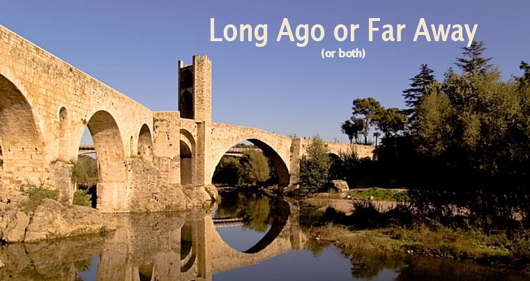
I found Venice, Italy. This place isn't famous for blizzards, but for canals with boats instead of roads and cars. If you move north west from Venice, Italy (farther north than Bismarck, North Dakota in fact) you can find Paris, France.
In Bismarck, the average high temperature in January is 20 degrees Farenheit. The average high temperature for January in Paris is 43 degrees Farenheit. Quite a difference!
The reason for this is something called the Gulf Stream - a major Atlantic Ocean current that originates in the Gulf of Mexico. Europe would be a much different place without this - perhaps a little more like the Dakotas.
Subscribe to:
Post Comments (Atom)
4 comments:
This is very interesting, and a fact we were not aware of. Thank you for enlightening us!
This may sound really wierd but the way I remember the differnce between longitude and latitude is from a beer advertisement. Corona had a billboard that said "change your lattitude" (like "change your attitude" see). And they had a picture of someone holding a beer on a tropical beach. All I have to do is remember the tropical beach and understand that I have to travel (quite a bit) souuth to get there. ... east or west won't do.
There is an unexpected (to me) end to that gulf "stream". It ends in a kind of field northwest of Ireland called the North Atlantic Drift Current. It seems that in this area the warm water slows to a crawl (about 3 cm/sec) over a WIDE swath of area. It then sinks as it is cooled down. Well anyway, the real story is that it is this this vast field of warm surface water is what warms the air that goes over Europe that ends up back where the mapguy's post was heading. This water is about 46 F whereas the other water in the area is only 35 - 42 F.
Post a Comment